Justin Poh
Welcome
Publications & Presentations
Resume
Undergrad Work
Course Projects
>
Mechanical Engineering/Material Science
>
Design Nature, Fall 2012
Transport Phenomena, Fall 2014
Mechanical Design, Fall 2014
MechSolids, Spring 2014
Dynamics, Fall 2013
Robotics
>
Principles of Engineering, Fall 2013
Fundamentals of Robotics, Fall 2014
Product Design & Development
>
NEADS System Design, Fall 2015
UOCD, Spring 2014
Engineering for Humanity, Spring 2013
Electrical/Software Engineering
>
Software Design, Fall 2013
Real World Measurements, Spring 2013
Modeling & Control, Fall 2012
Data Science & Analysis
>
Analyzing Gait Data, Spring 2015
Crowd Flow Modeling, Spring 2015
Undergrad Research
>
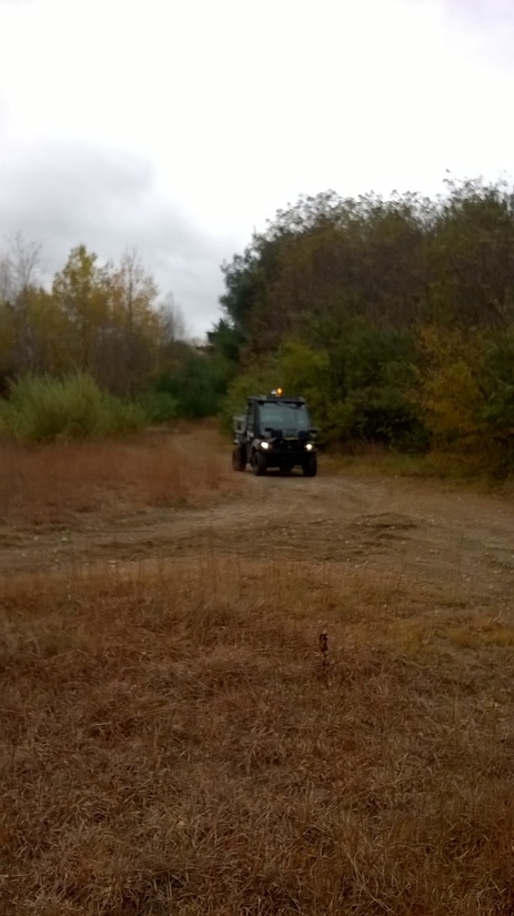
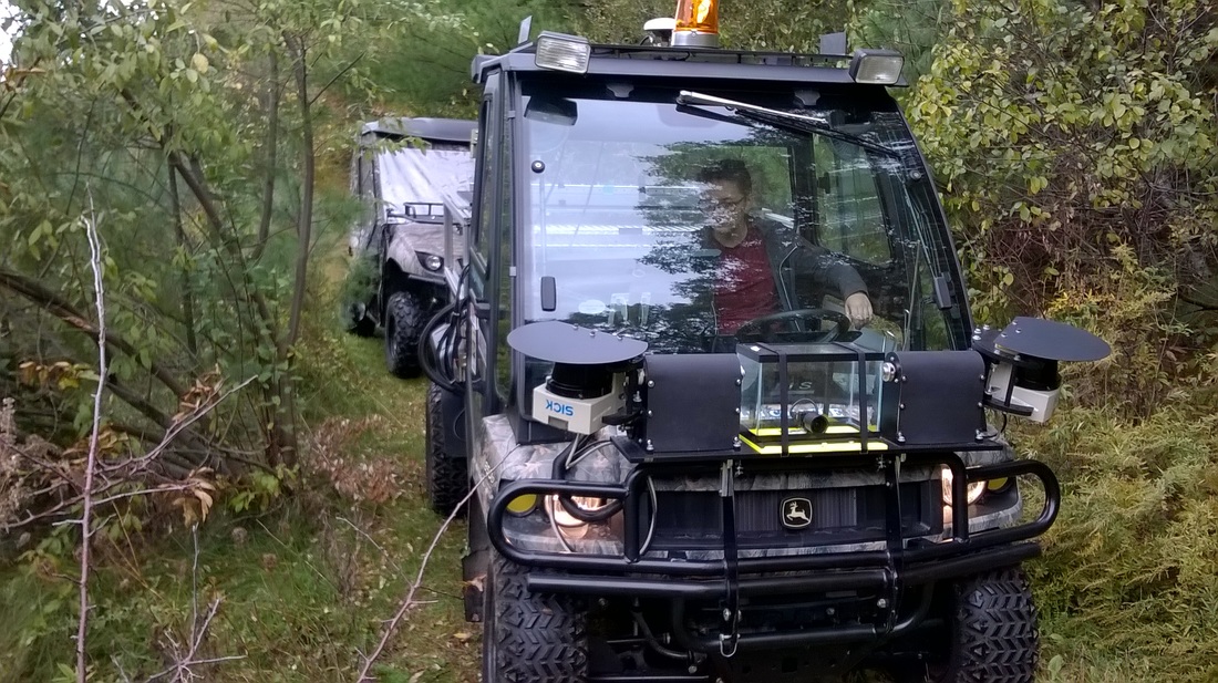
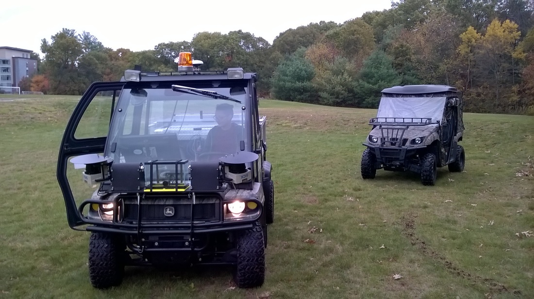
Gator Research, Spring 2016
Gator Research, Fall 2015
Robotic Tuna Research, Fall 2014
Robotic Tuna Research, Summer 2014
Welcome
Publications & Presentations
Resume
Undergrad Work
Course Projects
>
Mechanical Engineering/Material Science
>
Design Nature, Fall 2012
Transport Phenomena, Fall 2014
Mechanical Design, Fall 2014
MechSolids, Spring 2014
Dynamics, Fall 2013
Robotics
>
Principles of Engineering, Fall 2013
Fundamentals of Robotics, Fall 2014
Product Design & Development
>
NEADS System Design, Fall 2015
UOCD, Spring 2014
Engineering for Humanity, Spring 2013
Electrical/Software Engineering
>
Software Design, Fall 2013
Real World Measurements, Spring 2013
Modeling & Control, Fall 2012
Data Science & Analysis
>
Analyzing Gait Data, Spring 2015
Crowd Flow Modeling, Spring 2015
Undergrad Research
>
Gator Research, Spring 2016
Gator Research, Fall 2015
Robotic Tuna Research, Fall 2014
Robotic Tuna Research, Summer 2014